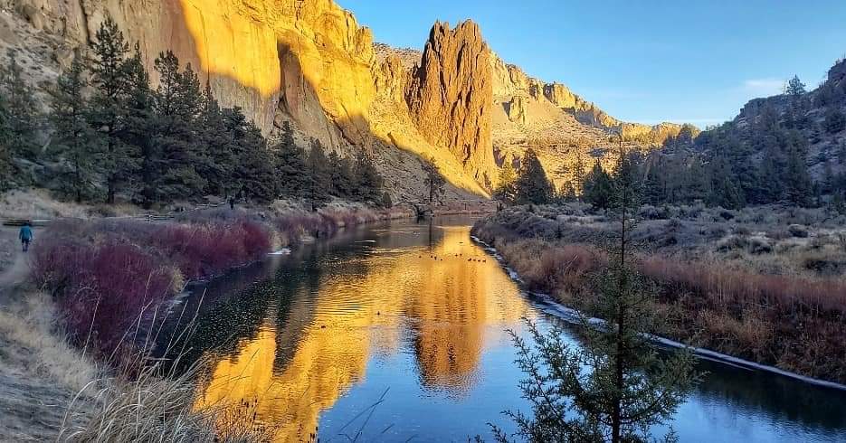
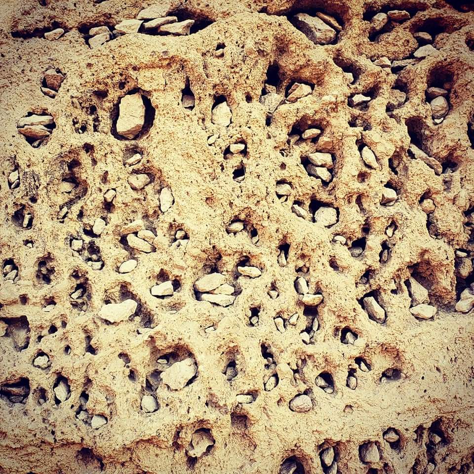
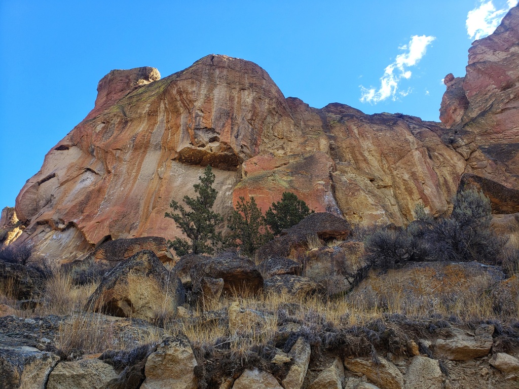
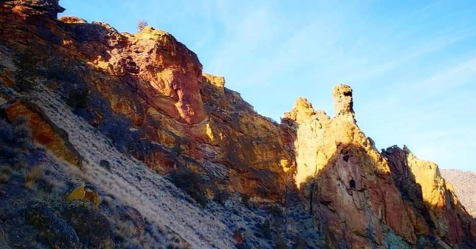
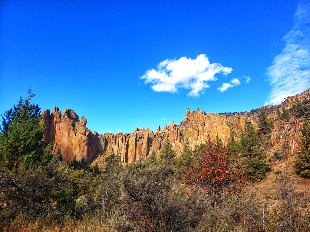
Smith Rock State Park presents an awesome demonstration of the power and diversity of volcanic activity. The canyon’s landscapes were created by two very different volcanic events- explosions of volcanic ash and the quiet flow of fluid basalt. A major volcanic eruption began the formation of Smith Rock. Ash a half-mile thick settled over the area, eventually hardening to become rock known as, Smith Rock tuff. Wind and water erosion altered the tuff leaving the spectacular spires. Later the fluid basalt flowing from volcanic eruptions eventually pushed the crooked river up to the base of Smith Rock, creating another type of landscape. This occurred approximately 30 million years ago!
Whether you go for a stroll along the meandering river, climb the rocks to unwind, or hike atop to the views of the mountains, the surrounding pulchritudinous will leave you in awe. It’s no wonder Smith Rock is one of the 7 wonders of Oregon.
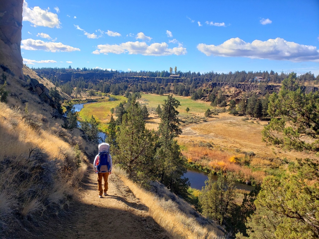
There are over 650 acres to explore and 12 official trails to hike, along with other hikes outside of the park. Hikers of all levels can find a path that suits them.
Recommended hikes:
Misery Ridge and River Trail
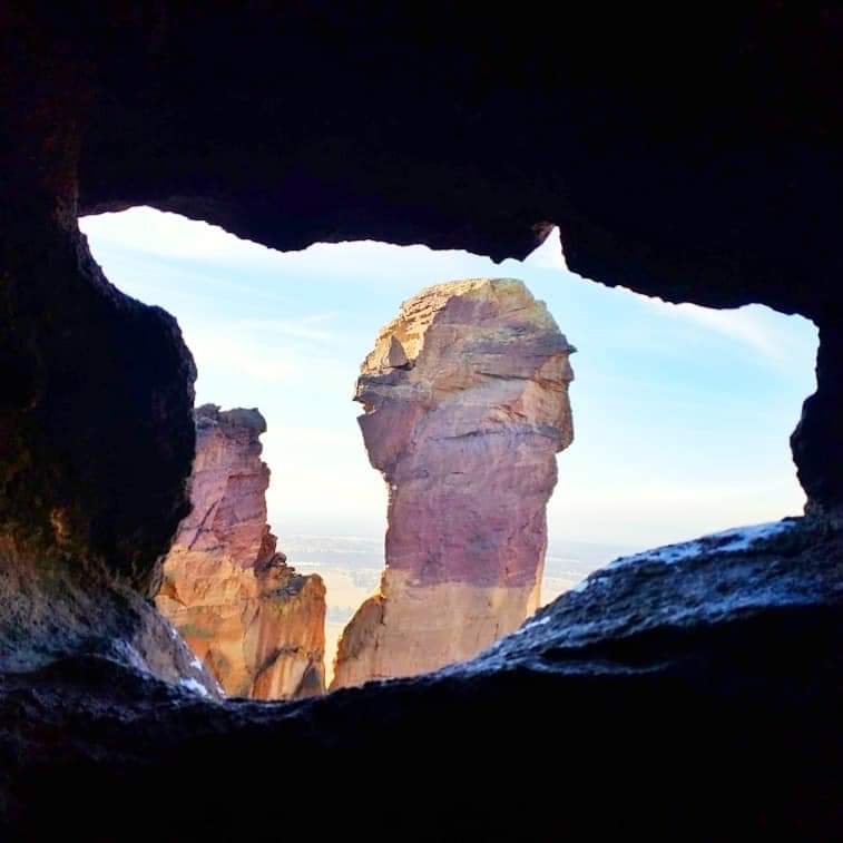
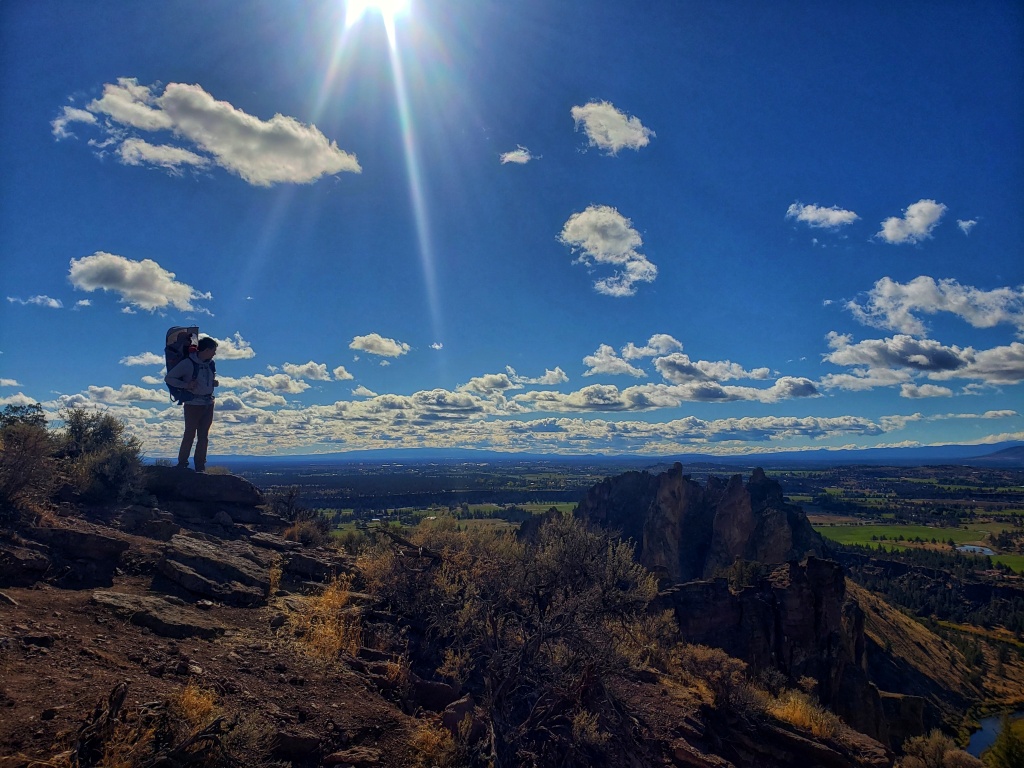
This is a 3.5 mile loop trail with about 950 feet in elevation gain and is generally considered challenging. Once you’re at the top, the climbing is over and you will be mesmerized by the ridge views and mountains. On your way back down, you will enjoy a beautiful journey along the river and will eventually see the famous Monkey Face, which is an unusual rock column hitting hundreds of feet up in the air.
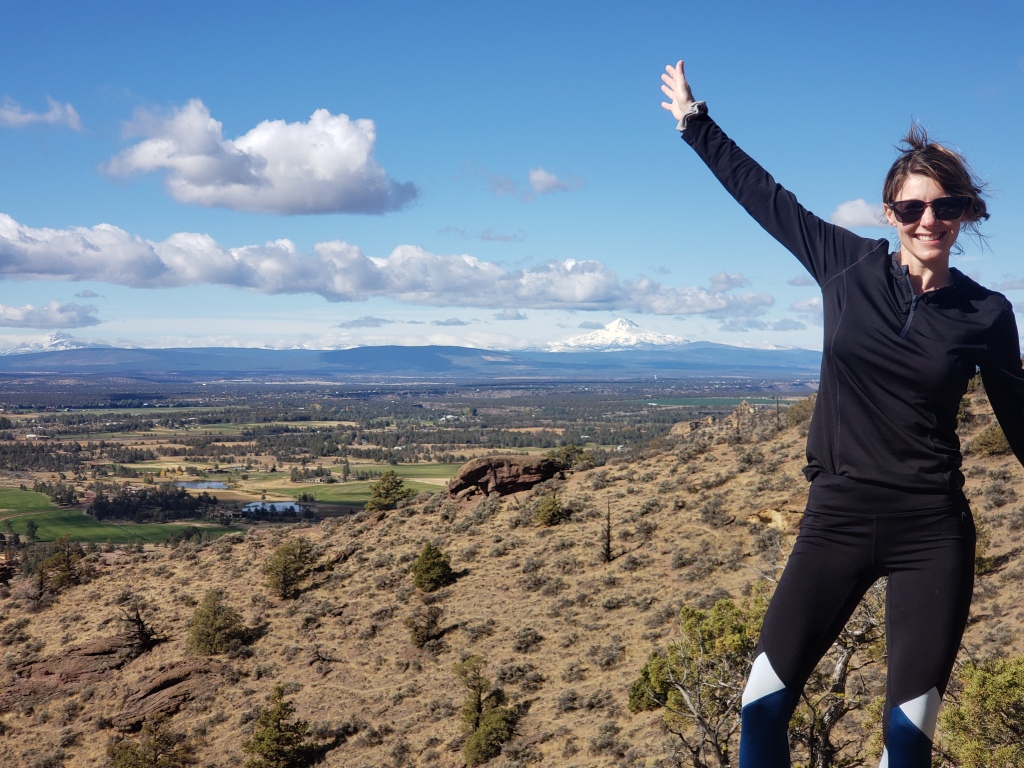
Misery Ridge and Summit Trail Loop
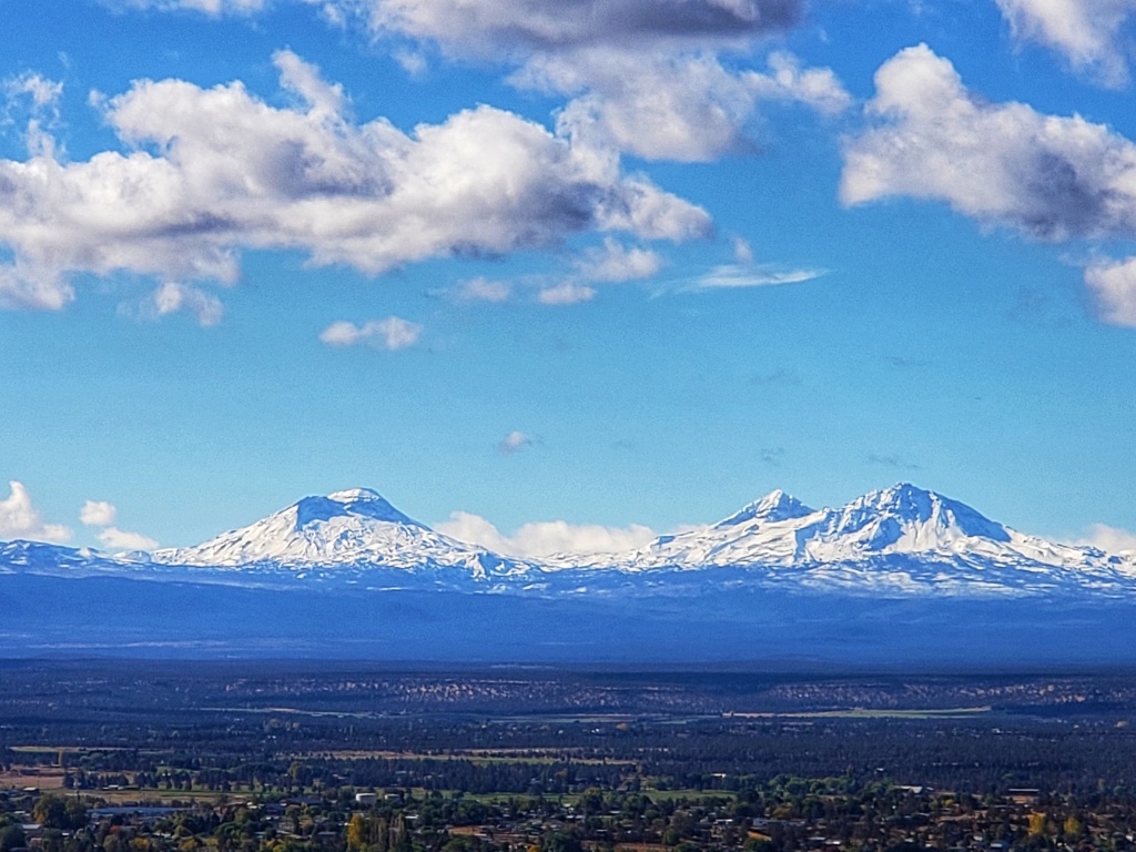
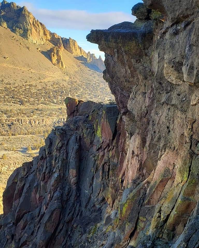
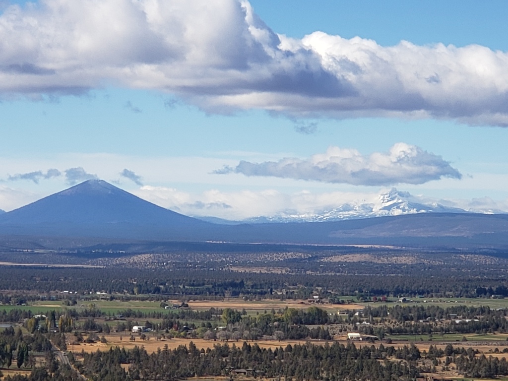
This very scenic 7-mile loop is considered challenging and can take almost 4 hours to complete with an elevation gain of about 1,800 feet. This is a popular area for mountain biking, running, hiking, and climbing. Be sure to stop and admire the rock formations of oranges, greens, reds, and the climbers rising and falling onto the solid rhyolite tuff. This hike is worth the walk to see Smith Rock from all the different angles. Be sure to go counter-clockwise for better views!
Canyon Trail and Homestead Trail
This is a 2.3 mile out and back easy stroll, and a great place to have a picnic among the boulders by the Lower Gorge while watching horses ford the river. You can hike up to the rim and peer over the edge of the giant basalt columns that line the contorted river rapids below.
Wolf Tree Trail
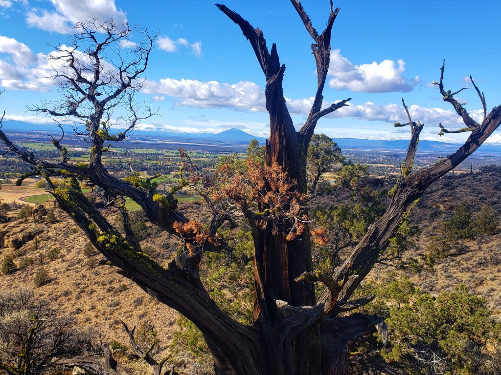
Head away from the crowds and trek this easy 2.7 mile out and back trail. This is a popular spot for bird watching, so keep an eye out for the heronries in the trees, or the great curved talons of an eagle! Then head up to the edge of the park and enjoy the views of the Gorge.
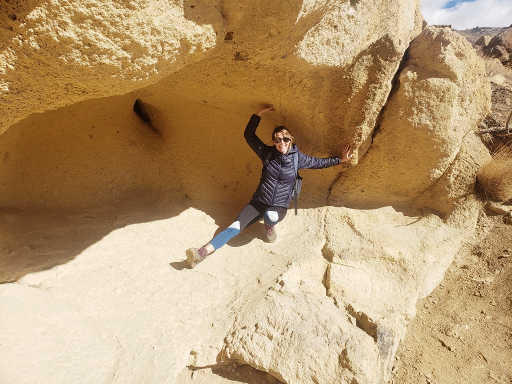
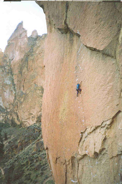
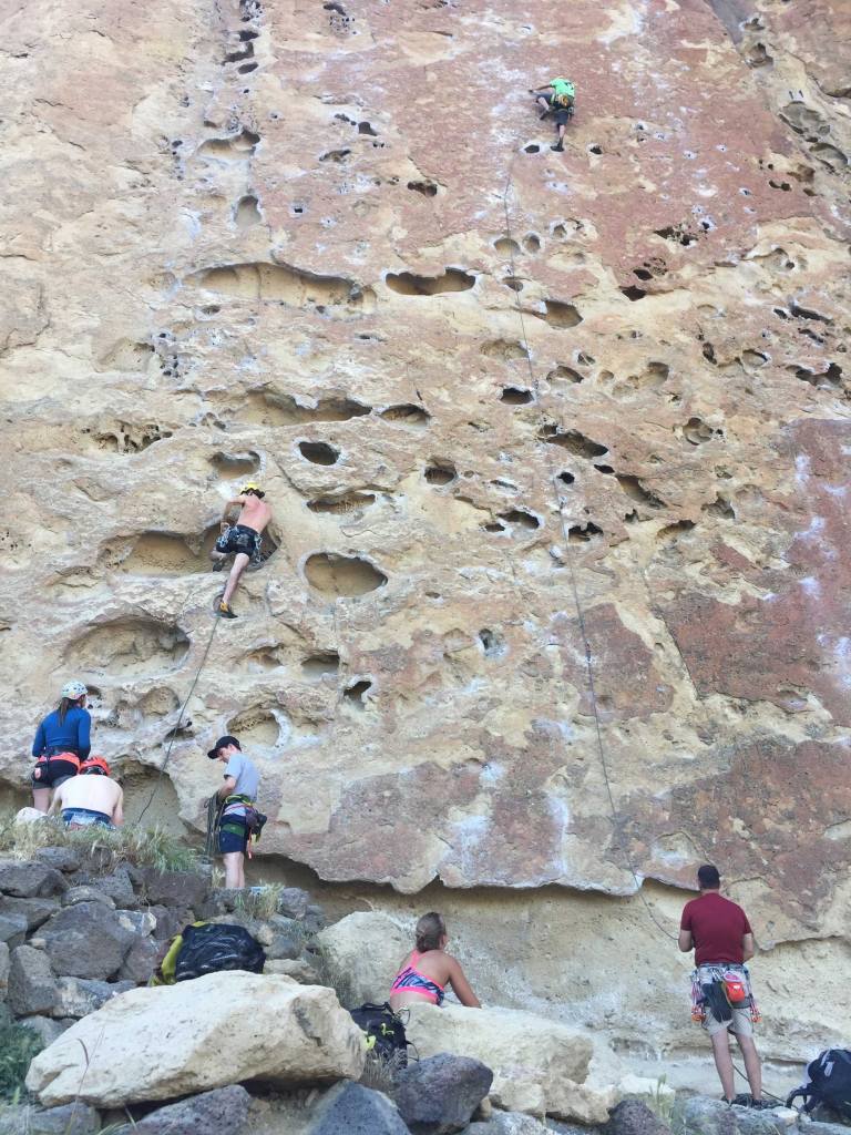
Are you a rock climber? Climbers from all over the globe go to Smith Park for the hundreds of climbing routes it has to offer. From cliffs, boulders, tuff to basalt, there is an assortment of routes for all levels.
If you want to learn to rock climb or need some brushing up and/or need more challenges, there is also a super cool Smith Rock Climbing school with AMGA-certified coaches.
Helpful tips:
- No permit or reservations are needed except for a special event
- $5 per parking space for day use- they take credit cards
- Pets welcome on a leash
- Best time to go is October-May (pack layers)
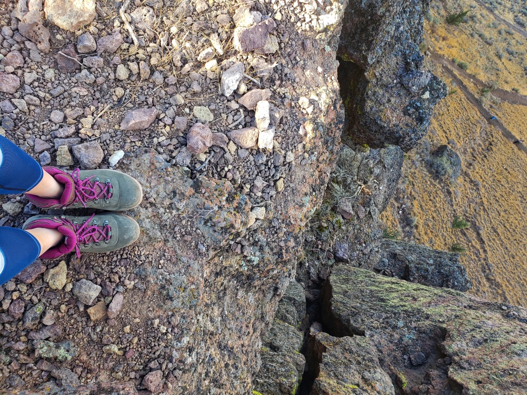
- Be careful going down the steep sections or bring poles to help support you
- Bring H20
Fun Facts:
- “Monkey Face” is a distinctly primate-looking face when viewed from certain angles. This iconic tower is 350 feet tall!
- The origin of the Smith Rock name is uncertain. One story states that Smith Rock was named after John Smith, who was Linn County Sheriff and an Oregon state legislator in the 1850s and 1860s. Another story claims the rock was named after a soldier named Smith who fell to his death from the rock in 1863 while his unit was camped nearby.

Leave a comment